ICEYE Radar imagery tasking

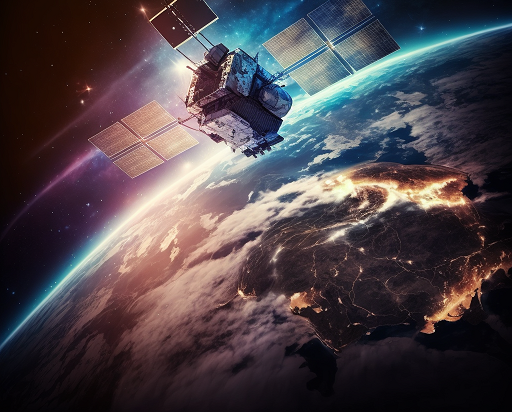
Radar satellite imagery offers unparalleled capabilities for a wide range of applications, providing clear and detailed information regardless of weather conditions or time of day. Our comprehensive satellite earth observation service delivers the most advanced radar imagery solutions to meet your unique needs.
Our service leverages the extensive constellation of ICEYE satellites, providing you with access to high-quality, customizable radar data. With ICEYE’s cutting-edge Synthetic Aperture Radar (SAR) technology, you can obtain clear, detailed images with resolutions as high as 0.5 meters, enabling you to make informed decisions with confidence.
Key Features and Benefits:
Unmatched Imagery Quality and Resolution
Radar imagery with resolutions up to 0.5 meters, allowing for precise detection and analysis of even the smallest objects
Ability to capture images day or night, and through cloud cover, ensuring continuous monitoring and data collection
Flexible Tasking and Delivery
Rapid tasking and delivery of imagery, with data available within hours of acquisition
Customizable area of interest and revisit frequency to suit your specific requirements
Seamless integration with your existing systems and workflows
Diverse Applications
Monitoring of critical infrastructure, such as pipelines, roads, and railways
Tracking of maritime vessels and monitoring of coastal areas for security and environmental purposes
Disaster response and damage assessment, providing crucial information for emergency management
Precision agriculture and forestry management, enabling informed decision-making
Urban planning and infrastructure development, leveraging detailed terrain and land use data
Competitive Pricing and Scalable Solutions
Use Cases:
Border Monitoring: Monitor activity and changes along borders and in remote areas, providing critical intelligence to maintain national security and manage cross-border operations.
Site Activity Monitoring: Continuously observe strategic sites, infrastructure, and facilities to detect changes, identify potential threats, and support asset management.
Oil Spill Detection: Rapidly detect and respond to marine oil spills and seeps, enabling timely intervention to mitigate environmental damage.
Deforestation Monitoring: Closely track forest cover changes to support conservation efforts, identify illegal logging activities, and manage natural resources.
Maritime Domain Awareness: Monitor vessel movements, including the detection of “dark” vessels not broadcasting on AIS, to enhance maritime security, combat illegal fishing, and improve supply chain visibility.
Other Applications: Additional use cases include port monitoring, sea ice tracking, and dark vessel detection to uncover unauthorized activities and support a wide range of commercial and government operations.
Tailored data packages to fit your budget and requirements
Scalable solutions to accommodate growing needs, from single-image purchases to enterprise-level subscriptions
Whether you’re a government agency, a commercial enterprise, or a research organization, our satellite earth observation service powered by ICEYE’s radar imagery can provide you with the insights and intelligence you need to make informed decisions and drive your success. Contact us today to learn more about how our service can benefit your organization.
